EarthShape weather data collection
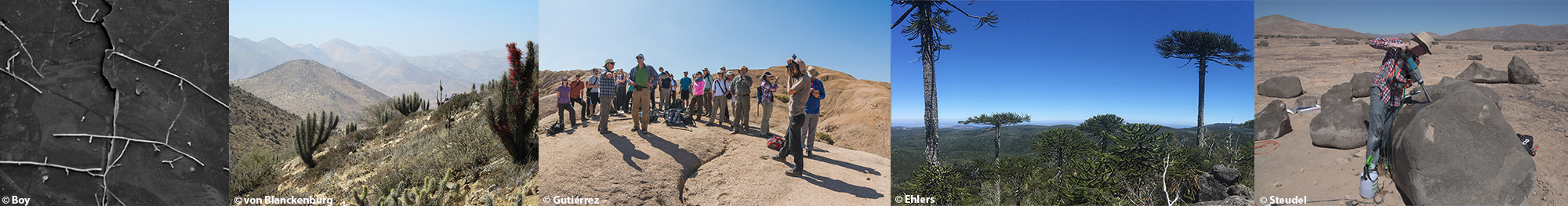
The Research Consortium EARTHSHAPE installed meteorological stations along four research sites at the climate gradient in coastal Chile, between the dry and poorly vegetated Atacama desert and the humid forests in southern Chile. The setup and data initialization in March-April 2016 was realized in close cooperation with the Pontifical Catholic University of Chile, the Chilean Corporation of Forestry (CONAF) and the Centre for Advanced Studies in Dry Areas (CEAZA), Chile.
Locations of our 4 weather stations
The purpose of these stations is to monitor weather and climate data for the investigations focusing on local ecology, nutrient cycle, formation of soil and erosion.
Our Campbell Scientific sensors and loggers send collected data via satellite to Germany in hourly intervals for monitoring
The plots show the data, updated once a day, in two resolutions: overall data period and on a weekly base.
Contact the data manager (A. Beer) via Email
Click on one of the station names on the left menu to get more information.
We have published the data of the first approx. 4 years:
Übernickel, Kirstin; Ehlers, Todd A.; Ershadi, M. Reza; Paulino, Leandro; Fuentes Espoz, Juan-Pablo; Maldonado, Antonio; Oses-Pedraza, Rómulo; von Blanckenburg, Friedhelm (2020): Time series of meteorological station data in the EarthShape study areas of in the Coastal Cordillera, Chile. GFZ Data Services. https://doi.org/10.5880/fidgeo.2020.043
New data will be appended upon availability.