Welcome to the ArcGIS tutorial. This tutorial is ideal for unexperienced users. It consists of three parts: . In Tutorial 1, you learn to display, manage, and analyze elevation data in ArcMap. In Tutorial 2, you learn how to handle and present active fault data from a Quaternary fault database for Central Asia. In Tutorial 3, you apply your skills from Tutorial 1 and 2 to create a hazard map that will be used by an international development organization for the purpose of planning their future development sites. If completed successfully you will be ready to explore ArcGIS by your own and use it for other applications. In case you got an error message while following this tutorial, don't give up. You should instead make sure you have followed the previous instructions correctly, if this doesn't solve the problem, you can try to search for the error message in google. You are not the first encoutering a specific problem. Feel free to contact me for any suggestions, especially if you have ideas on how to improve this tutorial (This email address is being protected from spambots. You need JavaScript enabled to view it.).
|
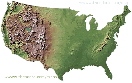
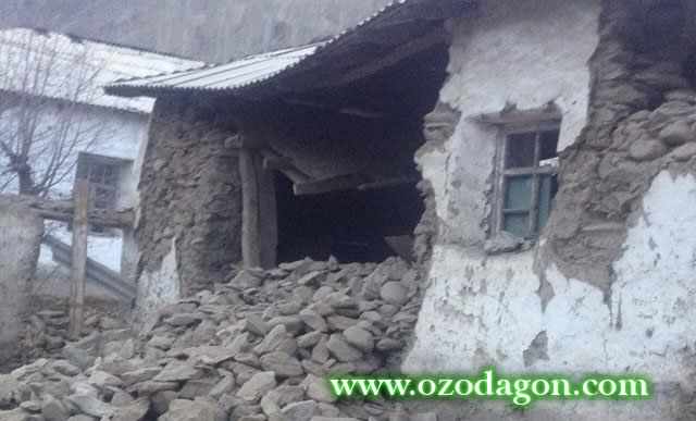
Apply your skills for a geohazard mapping of the Pamir region in Tajikistan. |
||
 |
 |
 |
Note that there are many other ArcGIS tutorials available:
http://desktop.arcgis.com/de/arcmap/
https://learn.arcgis.com/en/ (real world tutorials including some about natural hazard mapping)
https://mgimond.github.io/ArcGIS_tutorials/
http://libraries.uark.edu/gis/tutorial.asp